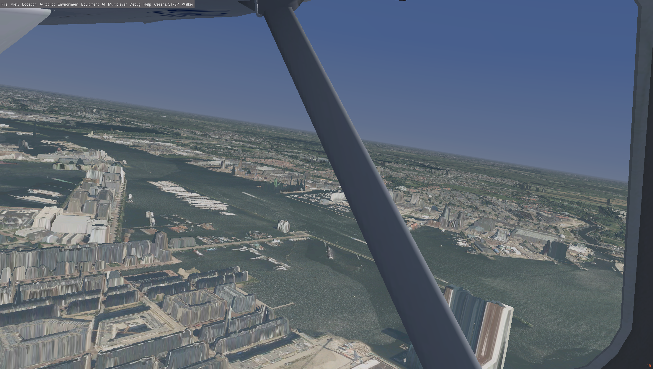
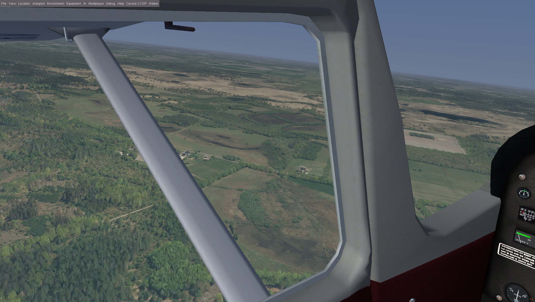
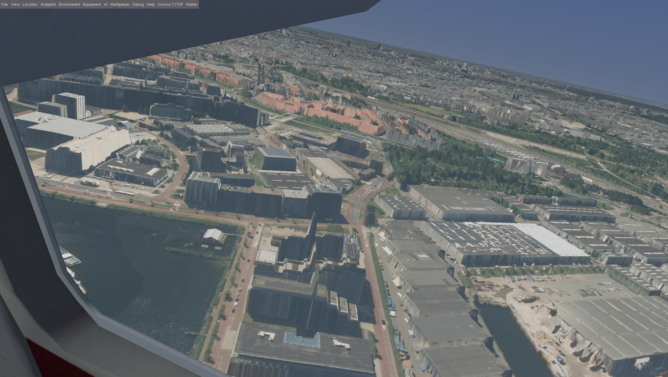
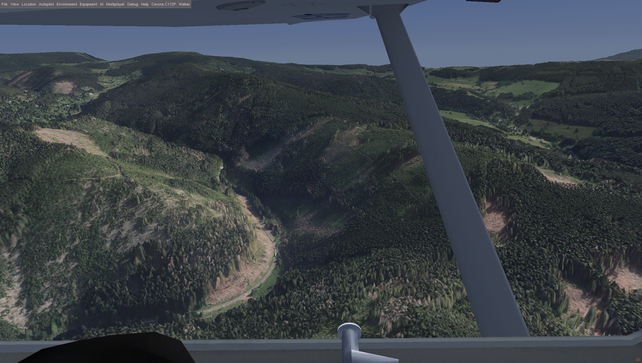
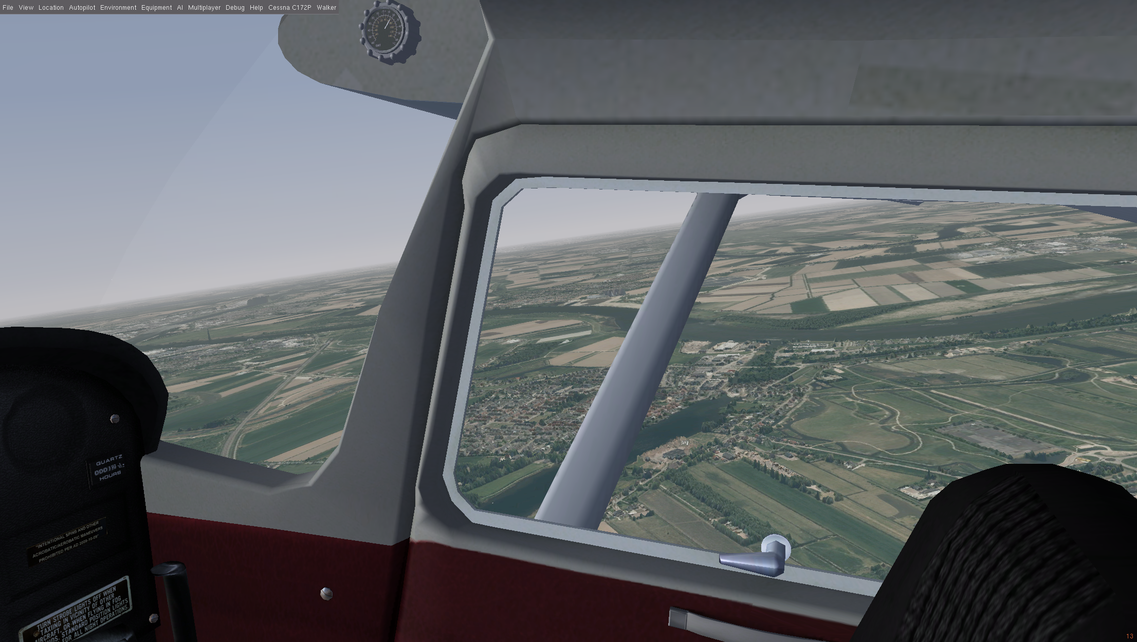
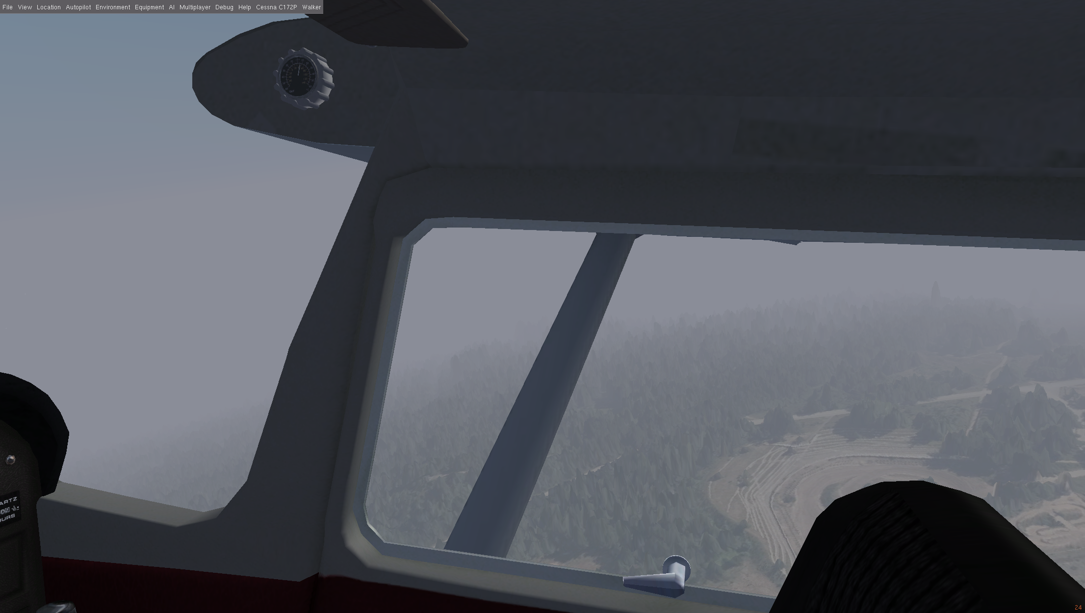
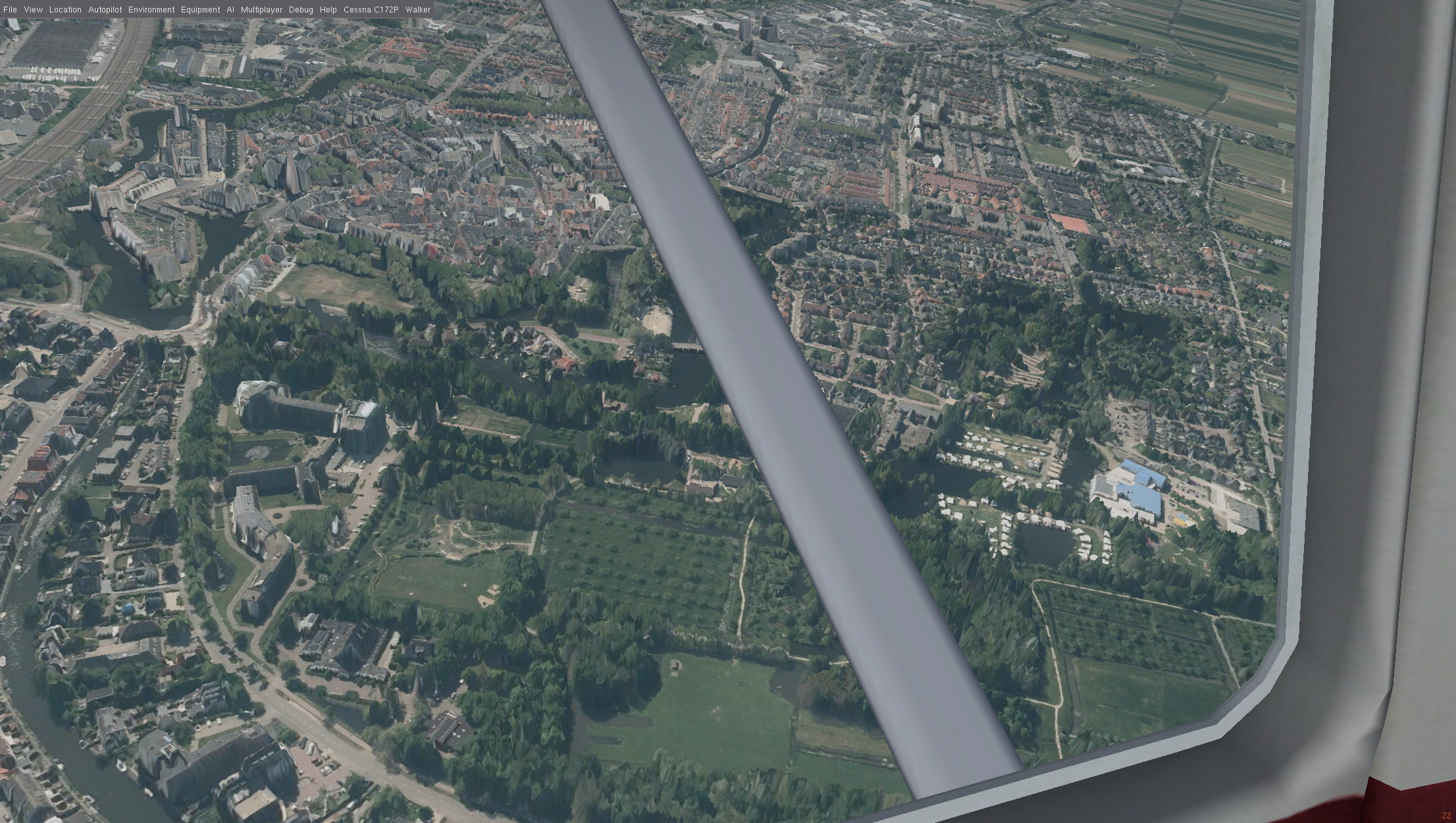
DSM terrain
This page contains information on a experimental DSM terrain renderer for FlightGear. Code is available at GitLab
Supported countries:
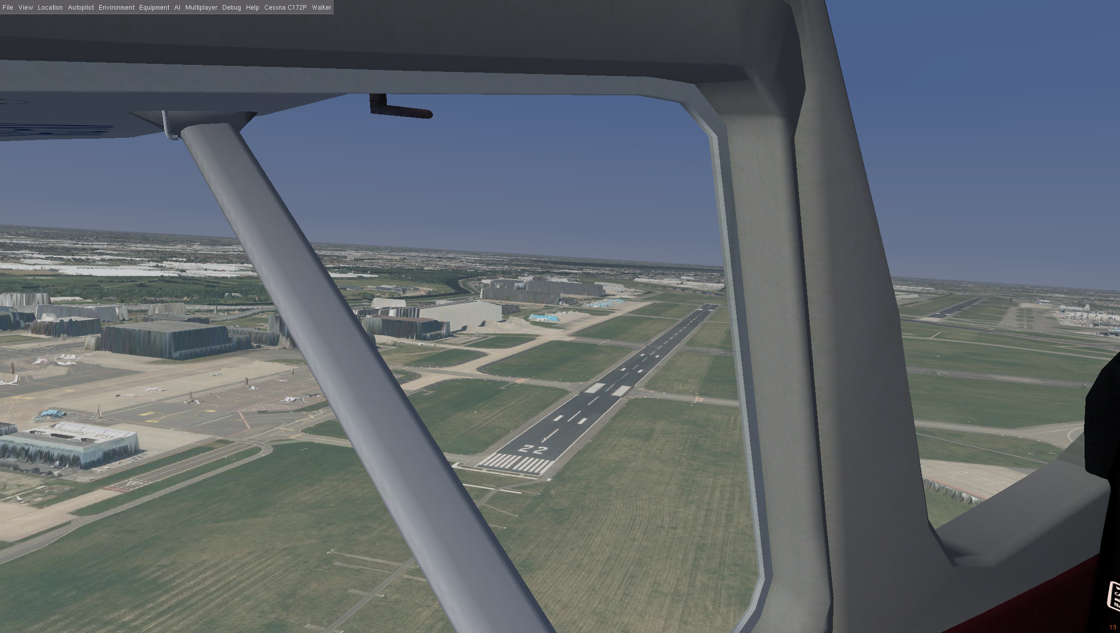
- The Netherlands. Data CC BY 4.0 PDOK/Kadaster NL
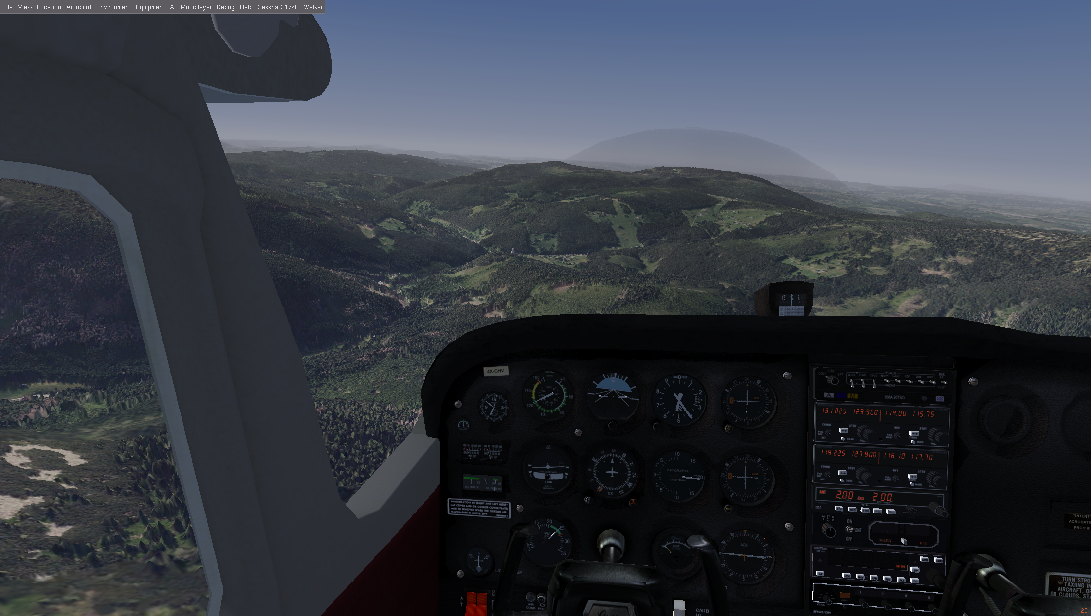
- Czech Republic. Data CC BY 4.0 Czech Office for Surveying, Mapping and Cadastre (ČÚZK)
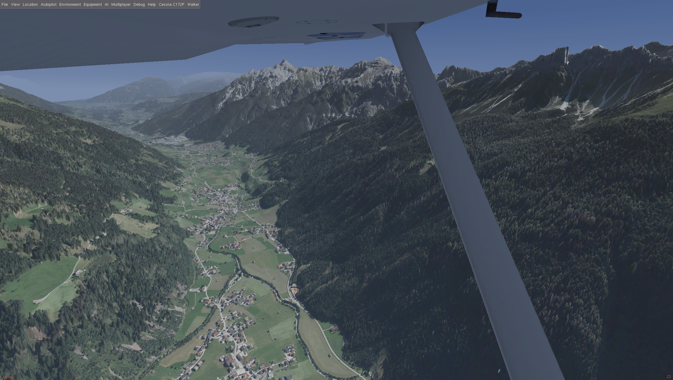
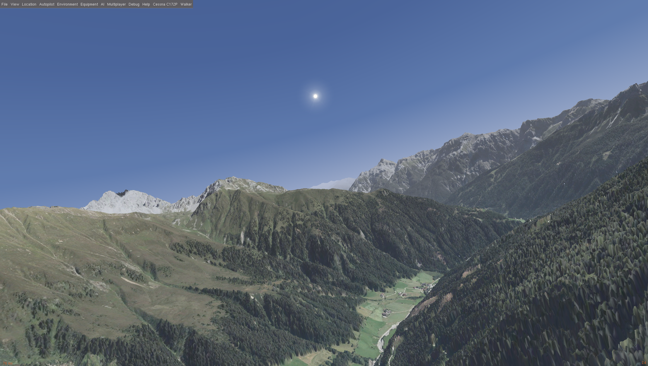
- Tirol, Austria. Data CC BY 4.0 with addtional restrictions Land Tirol (data.tirol.gv.at)
Testing instructions (for developers):
- clone https://gitlab.com/gckrol/flightgear and checkout the `dsm-stable` branch
- build as usual
- select a location in The Netherlands (recommended: EHAM,EHSB)
- start with the `--terrain-engine=dsm` commandline flag (put this in Settings > Additional Settings in the launcher).
- terrain will automatically be streamed in
- disable Atmospheric Light Shattering (ALS) to have the horizon more closely match the sky.
- happy flying!